Authority
USFWSESA §10(a)(1)(A) recovery permit
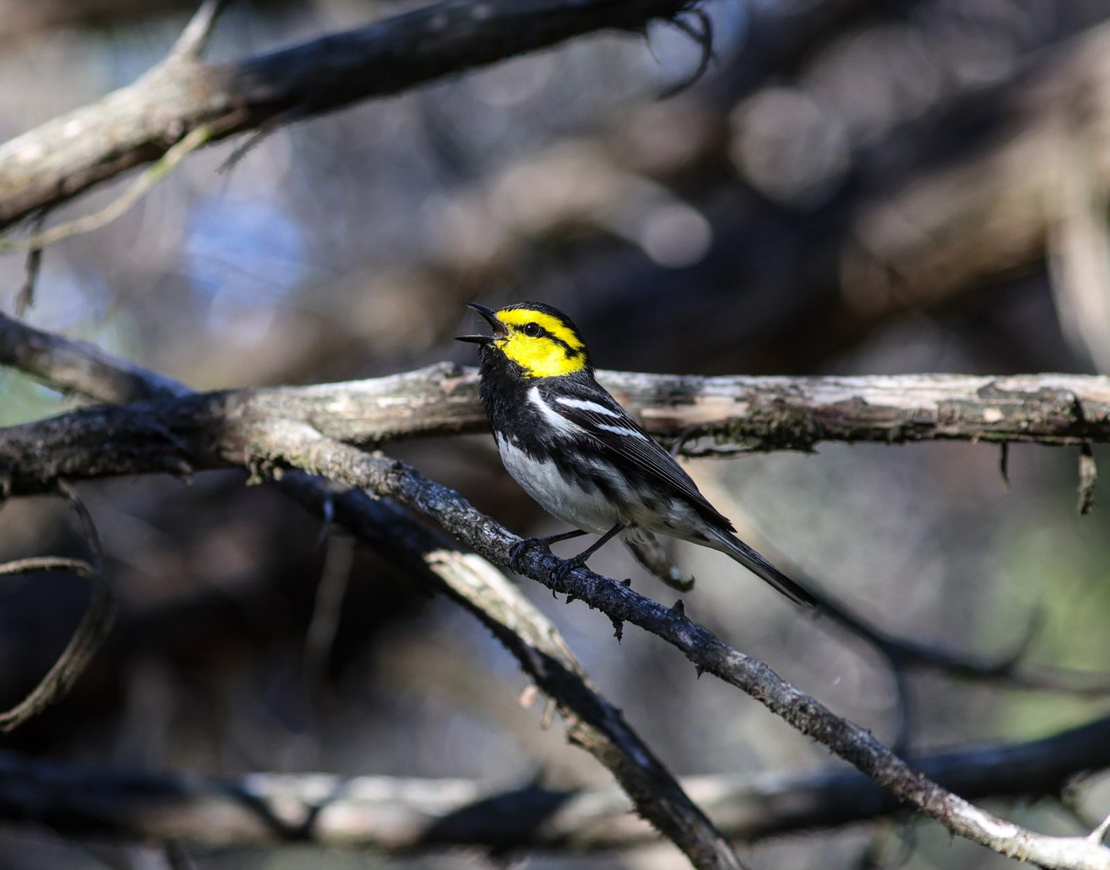
Central Texas · Edwards Plateau
Surveys can only be conducted between March 15 and June 1, and only by a biologist holding a federal recovery permit. I hold that permit.
Why this matters for your project
The golden-cheeked warbler is federally listed as endangered and nests only in Central Texas — nowhere else on earth. It breeds in mature Ashe juniper mixed with oaks and other hardwoods, typically on slopes and in canyons with substantial canopy cover.
Under the Endangered Species Act, “take” includes habitat modification that kills or injures listed wildlife by significantly disrupting breeding, feeding or sheltering. Clearing occupied habitat without knowing it is occupied does not avoid that exposure — it only means the exposure is undocumented.
Some Central Texas counties have regional conservation plans offering an alternative compliance path with a per-acre fee. Many do not. Which situation your property is in depends on the county and the project, and it is worth knowing before you plan a clearing schedule.
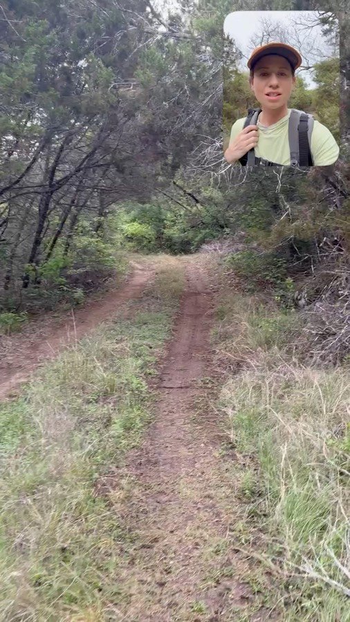
Video slot — field explainer, Central Texas, April 2026
From the field
Rather than describe it, here is the habitat itself — the oak-juniper woodland the warbler depends on, and what a surveyor is looking at when deciding whether a property needs a full survey or a habitat assessment.
Short answers to the questions that come up most: whether you need a survey if you are not removing trees, what the window means for your schedule, what happens when the weather turns, and what to do if you miss it.
MOCKUP NOTE — a YouTube embed goes here on the live site. Full-quality files are in 02 Web-ready.
The survey window
Miss it and the answer waits a full year. Because each site needs five spaced visits inside eleven weeks, spring capacity is limited and typically committed by February.
Not sure you need a survey?
Not every property with junipers is warbler habitat. Stands under 15 feet, pure juniper with no hardwoods, and open woodland below about 35 percent canopy cover generally are not.
A habitat assessment evaluates the vegetation on your property against the Service's habitat criteria and produces a documented report — and unlike a survey, it is not restricted to the spring window.
If a property meeting the habitat description is not surveyed, that assessment report goes to the USFWS Austin field office for review. Note that the Service does not issue concurrence on habitat assessments; the report documents the basis for the determination and the record of its submission.
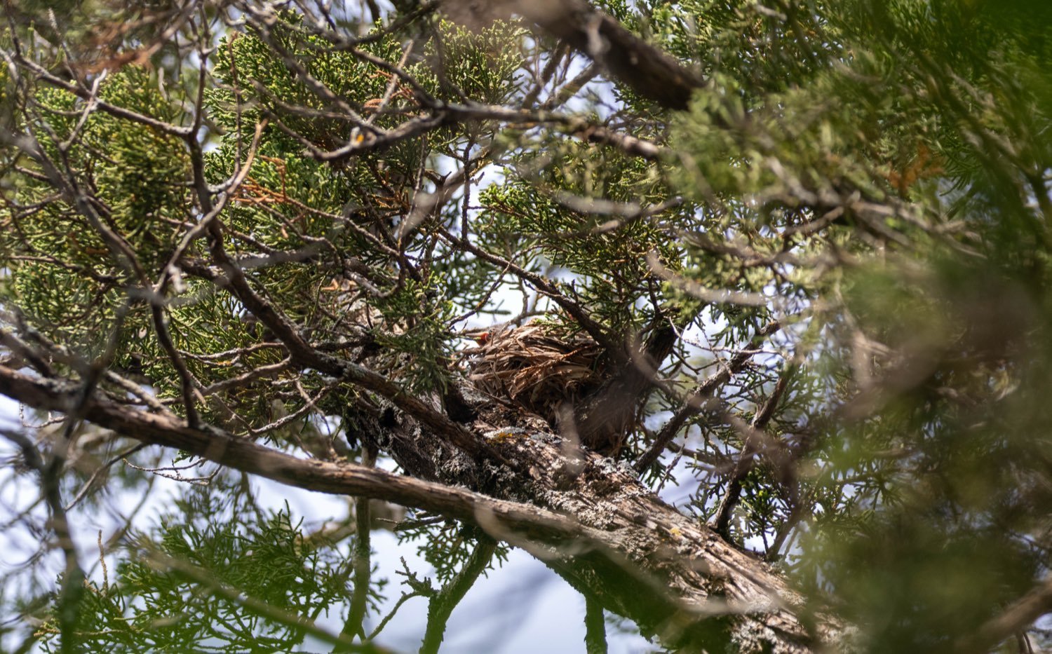
Experience with this species
Seasonal golden-cheeked warbler biologist. Territory mapping, point counts, target-netting, banding, nest searching and nest monitoring — conducted under the program's permit.
Five seasons of golden-cheeked warbler resighting on the Balcones Canyonlands Preserve.
Black-capped vireo surveys, with point counts for golden-cheeked warbler and other sensitive avian species.
Start small
Most people who call me do not need a full protocol survey. They need to know whether they need one. These are three separate products, in increasing order of cost and commitment — and many projects stop at the first.
Before anyone walks the property. I review current and historical aerial imagery, canopy cover, slope and drainage, county habitat mapping and the Service's range data against the published habitat criteria, and tell you what I see.
No site visit. No season. Often it is enough to tell you whether this is a real problem — and if it is not, you have saved everything downstream.
You receive
If the desktop review is inconclusive, or a reviewing agency wants documentation, I walk the property and assess the vegetation against the habitat criteria — juniper maturity, hardwood mix, canopy cover, topography — and produce a documented report.
Not restricted to the spring window. If a property meets the habitat description and is not surveyed, this report goes to the USFWS Austin field office. The Service does not issue concurrence; the report documents the basis for the determination.
You receive
Only if the habitat is there. Five visits minimum, five days apart, between March 15 and June 1, at least 60 percent before May 15, to the Service's protocol — with observation and survey-area data reported to the Austin field office by June 30.
Plan for three years. In most cases the Service requires three consecutive years of negative results before inferring absence, so this is usually a multi-season sequence rather than a single engagement.
You receive
If you are not sure where to start, start at step one. It takes days rather than seasons, and it is the conversation I would rather have in December than in April. Every quote states exactly how many site visits are included and what happens if weather costs one — because under this protocol, weather does cost them.
Common questions
These are the questions that come up in contractor groups and on first phone calls — usually answered badly, and often expensively.
Possibly, and it is worth finding out rather than assuming. Two things drive the answer, and neither is simply whether trees come down. First, your city or county may require habitat verification as a condition of a permit regardless of your scope of work. Second, the Endangered Species Act defines take to include habitat modification that disrupts breeding, feeding or sheltering — which can be broader than felling trees.
The Service also recommends looking at suitable habitat within 300 feet of the project area, not only inside your property line. A short conversation about what you are doing and where usually settles it.
Not every property with cedar on it is. The criteria are specific: mature Ashe juniper roughly 15 feet or taller with a trunk around 5 inches through, mixed with oaks and other hardwoods, canopy cover generally above 35 percent, typically on slopes and in canyons.
Young juniper in an old field is generally not habitat. Pure cedar with no hardwoods is generally not habitat. Open savannah below 35 percent canopy is generally not habitat. If your land was cleared years ago, there is a real chance it no longer meets the description — and documenting that is far cheaper than assuming the worst.
A desktop screening is usually the fastest way to find out. I can look at aerial imagery, canopy and terrain against the criteria without anyone setting foot on the property, and tell you whether this needs to go further.
It depends on acreage, access and how much of the property is potential habitat, because the protocol sets the effort: roughly one hour of survey time per 25 acres of potential habitat, per visit, with a minimum of five visits.
A habitat assessment is a fraction of a survey season and is often the right first step. If it concludes the land is not habitat, that is the end of it — and you have a documented basis for the decision rather than a hope.
For a survey, you wait a year. March 15 to June 1 is the only window, and there is no expedited option — the birds are in Mexico and Central America the rest of the year.
A habitat assessment is not seasonal, which is why winter is a sensible time to find out whether you need a survey at all. Sorting that out in December is a great deal calmer than discovering it in April.
In some counties, yes — Travis, Williamson and Bexar have regional conservation plans with a fee-based participation route, and for some projects that genuinely is the better deal. Most Central Texas counties have no such option.
One detail worth checking before you assume the fee is cheaper: in Travis County the mitigation fee is calculated on the entire legal tax parcel, not only the portion you are disturbing, and the rate is higher for land mapped as confirmed habitat than for unconfirmed. On a large parcel that arithmetic can change quickly. Confirm current figures with the county and run both numbers before deciding.
There is a real process underway. The Service's five-year review in January 2025 recommended downlisting the species from endangered to threatened, and a petition to delist it passed its initial finding and is in a twelve-month review.
But nothing has changed yet, and a change to threatened status would not automatically remove the requirement. Planning a clearing schedule around a rule change that has not happened is a way to be wrong at your own expense.
Five visits minimum, with at least five days between any two of them, so a single site occupies three to four weeks of the season at the very least — and at least 60 percent of those visits must fall before May 15.
That is why permitted surveyors are usually committed by February. If your project may need spring survey work, autumn is when to have the conversation.
The morning is lost, and that is not a judgement call. The Service's requirements state that surveys "must not be conducted during unfavorable weather conditions, such as (1) wind speeds greater than 12 miles per hour, (2) fog, (3) light to heavy precipitation, and (4) temperatures less than 45°F or greater than 80°F." The same document adds that surveyors "must not conduct surveys when experiencing temporary hearing impairment, such as from illness" — these are listening surveys as much as looking ones.
Practically: if the weather turns, the visit does not count toward the five required for that site, and it has to be made up. Because no two visits may fall within five days of each other and at least 60 percent must be done before May 15, one rained-out morning in April can push a whole schedule. This is the real reason spring capacity gets committed early — a permitted surveyor has to hold slack in the calendar for weather, and there is only so much slack in eleven weeks.
Yes, and you should know that up front. Survey data goes to the USFWS Austin field office by June 30 each year. Habitat assessment reports go in within five business days of the determination. Those reports may be disclosed under the Freedom of Information Act.
Anyone who tells you otherwise is either not permitted or not complying with the terms of their permit. It is a condition of doing this work legally, and it is part of what you are buying — a defensible record rather than an assumption.
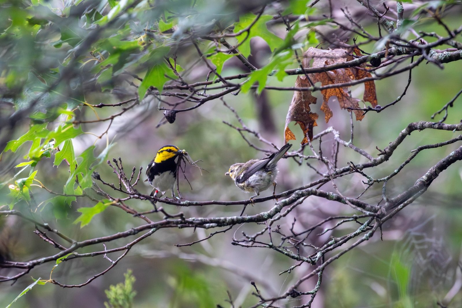
Spring 2027
A short conversation about the property, the county and your clearing schedule is usually enough to tell you which path you are on.
Reference · updated August 2026
What the survey protocol actually requires, what a habitat assessment has to contain, and every deadline that attaches to both — written out plainly, because the source documents are scattered and most summaries of them are wrong.
Authorisation
Presence/absence surveys for the golden-cheeked warbler are authorised by the U.S. Fish and Wildlife Service under a section 10(a)(1)(A) scientific research and recovery permit. The Service publishes minimum experience requirements for obtaining one; it is not a form you simply file.
Three things about that permit are routinely misunderstood, including by people who hold one:
The survey
These are the Service's minimum requirements for a presence/absence survey. Deviating from them requires prior written approval from the Austin field office.
Before scheduling anything. The Service recommends surveying the project area and adjacent areas within 300 feet that contain suitable habitat — so the survey area is frequently larger than the parcel boundary.
Surveys must be conducted between March 15 and June 1. There is no alternative window and no expedited route; outside those dates the birds are on their wintering grounds in Mesoamerica.
Surveys must be conducted between March 15 and June 1.At least 60 percent of the surveys must be completed before May 15. In practice this means the first half of the window carries most of the work, and a late start is difficult to recover from.
A minimum of five visits, with no more than one visit in any five-day period. A single site therefore occupies a minimum of roughly three to four weeks of the season, before any allowance for weather.
Start no earlier than 30 minutes before sunrise, and finish within seven hours of sunrise. Detection depends on song, and song falls off through the morning.
A minimum of one hour of survey time per 25 acres of potential habitat, per visit — with a floor of one hour per visit regardless of site size. A small tract does not mean a short survey.
Playback may be used to help verify absence, but only after the full methodology has been carried out over five visits with no positive detections. The rules are strict — see below.
Observation data and survey-area data go to the Austin field office by June 30, and a narrative annual report follows in December. Reporting is a condition of the permit, not an optional courtesy.
When a survey cannot proceed
These are listening surveys as much as looking ones, and the Service sets hard limits on when they may be conducted. If conditions cross these thresholds, the visit does not count and has to be made up — which, with five-day spacing and a 60 percent deadline, is why a rained-out April morning can move a whole schedule.
Surveys must not be conducted during unfavorable weather conditions, such as (1) wind speeds greater than 12 miles per hour, (2) fog, (3) light to heavy precipitation, and (4) temperatures less than 45°F or greater than 80°F.There is a second limit that has nothing to do with weather:
Surveyors must not conduct surveys when experiencing temporary hearing impairment, such as from illness.Recorded calls
Recordings of golden-cheeked warbler or screech owl calls may be used to help verify absence — but only as a last step, and under tight constraints.
In most cases the Service requires at least three years of negative survey results following this methodology before inferring that the species is absent from a property. And a finding of absence applies only to the year in which the surveys were conducted — habitat determined to be occupied is considered occupied even while the birds are wintering in Mesoamerica.
Habitat criteria
Drawn from Campbell (2003), which the Austin field office uses to identify potential golden-cheeked warbler habitat. This is the section most worth reading before you assume anything about a property.
Woodlands with mature Ashe juniper in a natural mix with oaks, elms and other hardwoods, in relatively moist areas such as steep canyons and slopes. Adjacent uplands are also considered highly likely to be used.
Mature Ashe juniper means at least 15 feet tall with a trunk diameter around 5 inches at 4 feet above the ground. These areas generally have a nearly contiguous canopy — 50 to 100 percent closure — and an overall canopy height of 20 feet or more.
Other associations that may be used, particularly near woodland of the type above:
Vegetation associations where warblers are not expected, and unlikely to be used except for foraging when adjacent to occupied habitat:
Habitat assessments
If any area of a property meets one of the potential-habitat associations above and either (1) is considered suitable habitat but is not surveyed, or (2) is determined not to be golden-cheeked warbler habitat, then a report on that area must go to the Austin field office.
The deadline is tight: within five business days of that determination.
A map clearly showing where the property sits within the county.
With the property boundary clearly delineated. The imagery must be no older than 2006, and as recent as possible.
The vegetation associations present on site, described against the criteria — not summarised.
What you actually relied on: aerial imagery, satellite imagery, GIS analysis, site visits.
An explanation of why a survey was not performed, and why the site was determined unsuitable if that is the finding.
If the assessment is submitted with GIS shapefiles following the Service's habitat assessment directions, the map and aerial photograph are not separately required — the data goes in as an attribute table with the shapefiles.
The calendar